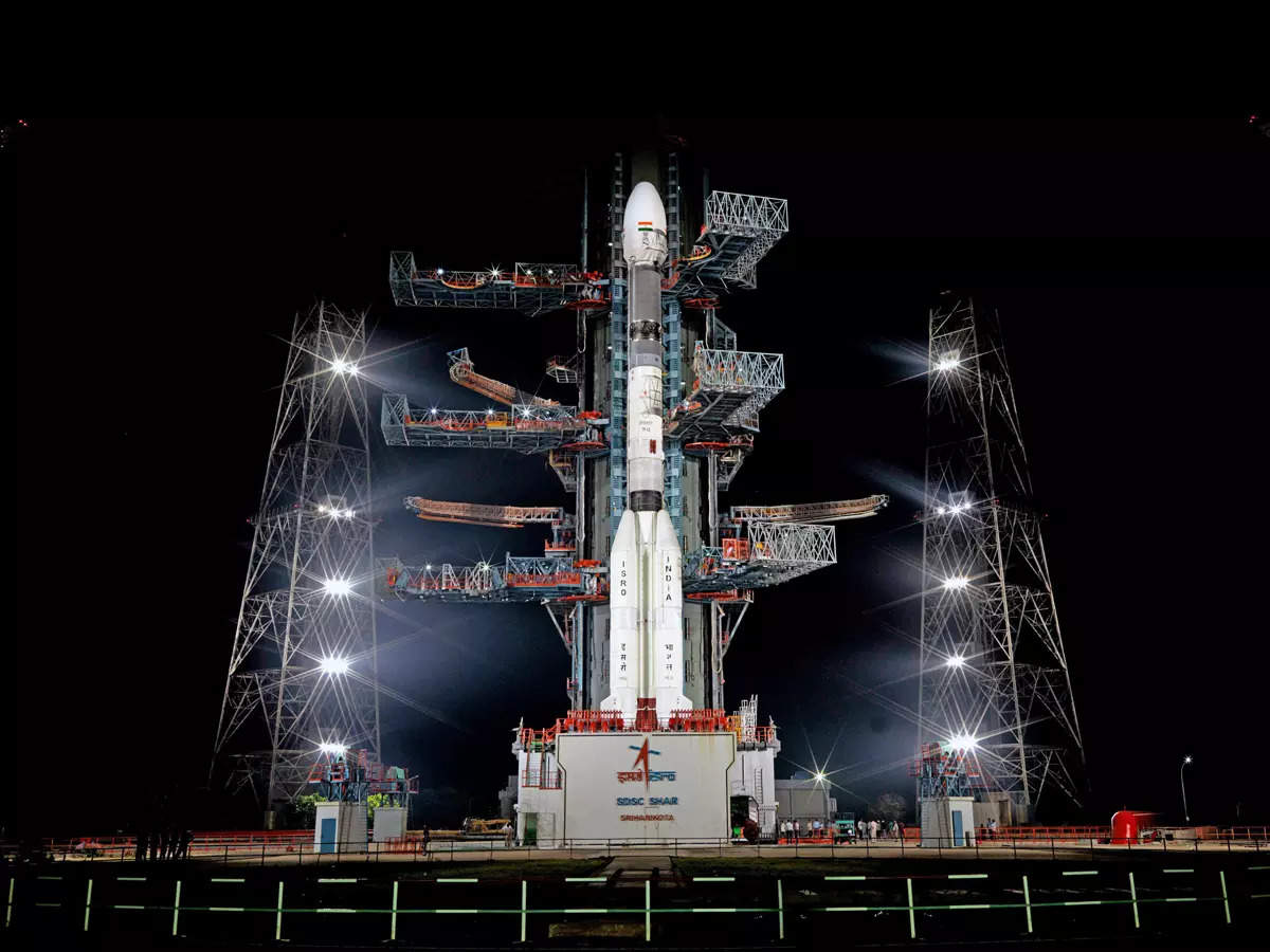

Indian Space Research Organisation (ISRO), launches its advanced navigation satellite GSLV-F12 and NVS-01 from Sriharikota.
ISRO today successfully launched India’s version of GPS with the next-generation navigational satellite NVS-01 which will provide real-time positioning and timing services over India and a region approximately 1,500 km around the mainland.
This series incorporates L1 band signals additionally to widen the services. For the first time, an indigenous atomic clock will be flown in NVS-01. An atomic clock is regulated by the vibrations of an atomic or molecular system which makes it extmely accurate.
ISRO’s Geosynchronous Satellite Launch Vehicle (GSVL) carried the navigation satellite NVS-01 weighing 2,232 kg into a geosynchronous orbit at an altitude of about 251 km, ISRO said.
Until now Russia’s GLONASS and Europe’s Galileo navigation systems were the only other alternatives to GPS.
*The NavIC series satellite includes features like terrestrial, aerial and maritime navigation, precision agriculture, location-based services in mobile devices.
*The signals are designed to provide user position accuracy of 5 to 10 metres.
*The Navigation with Indian Constellation (NavIC) is a regional navigation satellite system developed by ISRO that is India’s equivalent of the Global Positioning System (GPS), which is a free service that is provided by a series of satellites in orbit maintained by the US government.
*However, while GPS is global, NAVIC is a regional positioning system that covers India and a region 1500 km around the mainland for sea and air navigation.
*NAVIC is linked to a constellation of seven satellites in orbit that work in tandem with ground stations. The network provides navigational services to both general users and the armed forces.
*The NavIC system operates in the L5 band, which is a protected frequency specifically assigned to the Indian system. This dedicated frequency enhances the system’s robustness and ensures minimal interference from other signals. But it also incorporates L1 band signals additionally to widen the services. The GPS operates in the L1 band, which is shared with several other navigation systems worldwide.
*This mission is the sixth operational flight of the GSLV with indigenous cryogenic stage. The mission life of NVS-01 is expected to be better than 12 years, ISRO said.
Also read: ISRO is all set to launch NextGen navigational satellite tomorrow
The Defence Research and Development Organisation has offered 28 of its designed and developed weapon…
Nepal Foreign Minister Arzu Rana Deuba announced that 11 Nepali nationals being evacuated from Iran…
On June 21, 2025 (BST), Sikyong Penpa Tsering from the Central Tibetan Administration received a…
Strengthening maritime cooperation in the Indian Ocean Region, INS Teg, a frontline stealth frigate of…
Union Minister Hardeep Singh Puri paid tributes to the victims of the Kanishka bombing and…
The Baloch Yakjehti Committee marked three months since the arrest of the organisation's leaders such…